Main capabilities
- Localises point radioactive sources. Indicates points significantly different from the background radiation and thus determines the geographical coordinates of the sources.M
- Maps large areas of contamination and determines the radiation level in each area, taking into account the flight altitude as well as ground and atmospheric conditions.
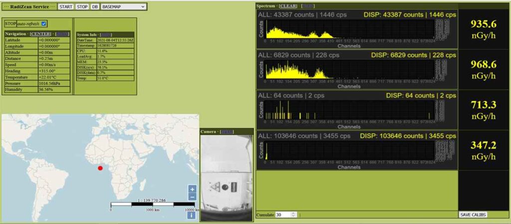
- Identifies the radioactive isotopes present, i.e. energy-selective measurements are used to indicate the composition of the contamination (spectrum analysis).
- Performs the automated transmission of the measurement data in real time to a ground control centre via WiFi, UHF radio or LTE-450 data link.
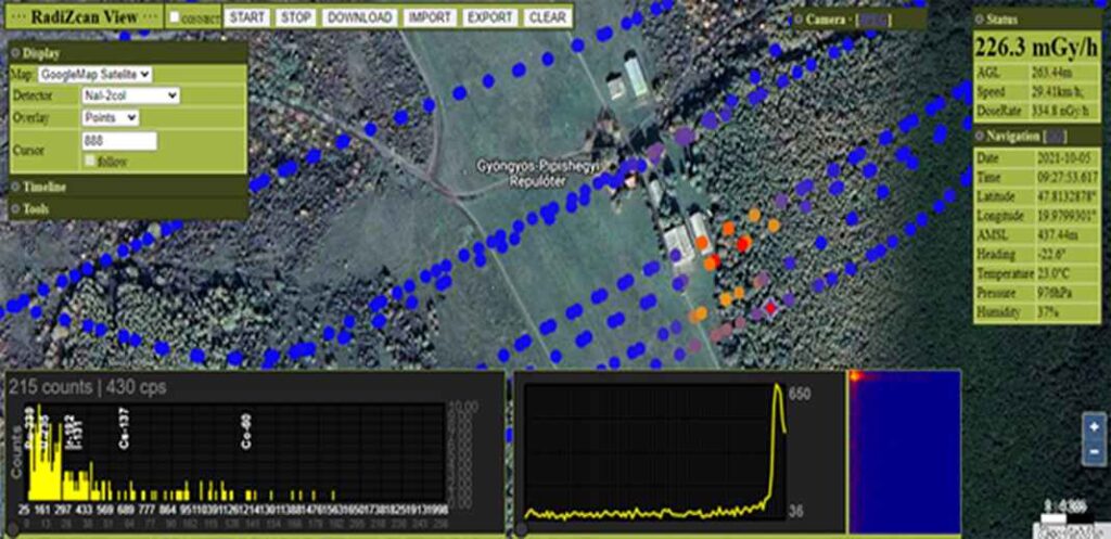
- The container’s software displays the measurement points on open source platforms (Google Maps, Google Maps Satellite, Bing, hiking trails, etc.).
- For the Cs137 isotope, produces measurements within a 10% margin of error.
Main features
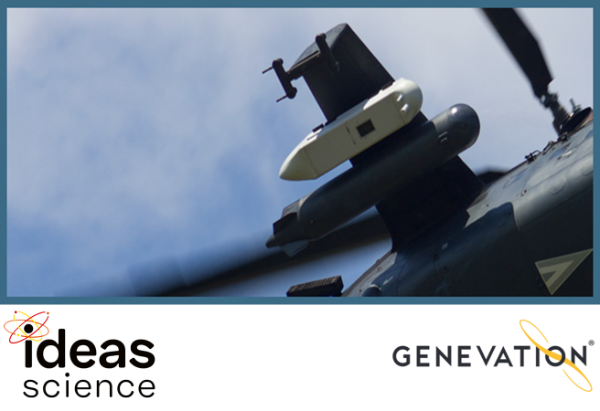
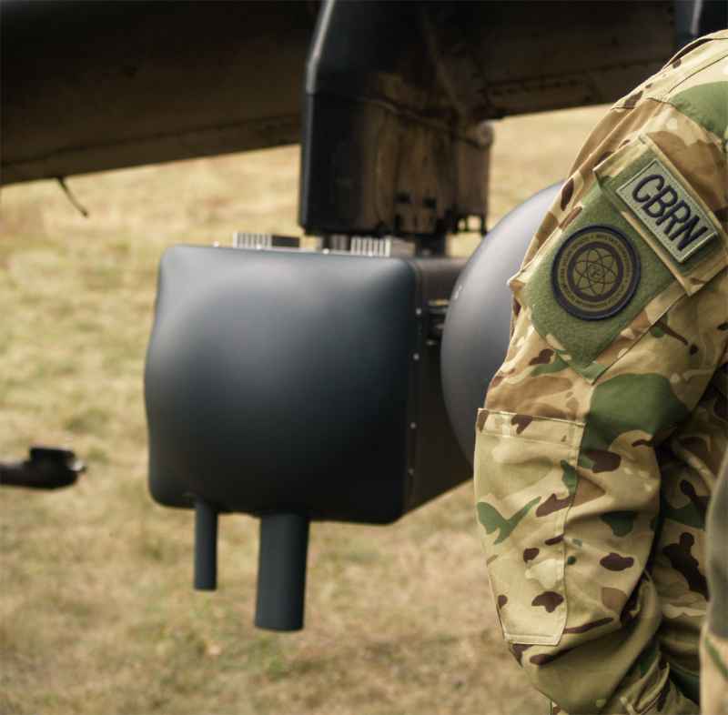
Gamma radiation is detected by plastic detectors and scintillation crystals. The large volume of the plastic detectors allows the detection of points or areas other than background radiation even from a great distance. The scintillation detectors provide dose rate and energy spectrum data from helicopters flying at 30-50 m altitude and up to 300 km/h. The data is entered into a database by the on-board computer and assigned to the location and coordinates. The data input is assisted by the on-board camera, GPS, inertial measurement unit and laser altimeter.
The on-board computer is located in the fuselage of the container with the data acquisition unit, which transmits the data to the radio. The system also includes a ground control and display station that provides online data on the characteristics of the contaminated areas, the location and characteristics of the radioactive isotopes and the radiation level of the detected field section at a height of 1 metre. The airborne and ground components communicate online, and in the event of a communication failure, the device can operate offline and intermittently online. The detector count rate is displayed on a map in near real time.
Key technical data
- Operating temperature: -20 – 50° C
- Storage temperature: -35 – 70° C
- Helicopter speed range: 100 – 180 km/h
- Humidity: 0 – 100% RH (max. 95% RH, at 35° C)
- Air pressure: 300 – 1100 hPa
- Operating time: min. 2 – 3 hours
- Measuring altitude: 30 – 50 m
- Measurement range (for gamma radiation dose rate measurements): 10nGy/h – 10Gy/h
- Overload capacity: min. 100Gy/h
- Energy range: 20 keV – 2 MeV
- Total container mass: 100,9 kg
- Detector tray mass: 49,44 kg
- Container dimensions (length x width x height): 214.5 x 47.4 x 40.0 cm
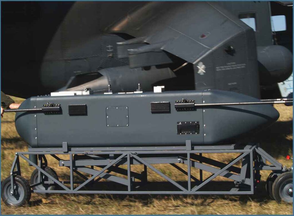
Parts of the on-board container
- Container pod, which is placed on a 34 x 140 cm tray
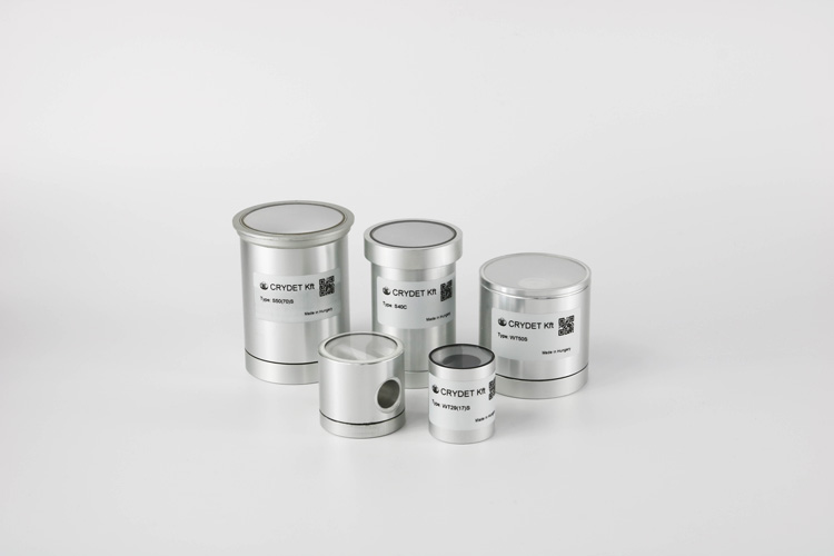
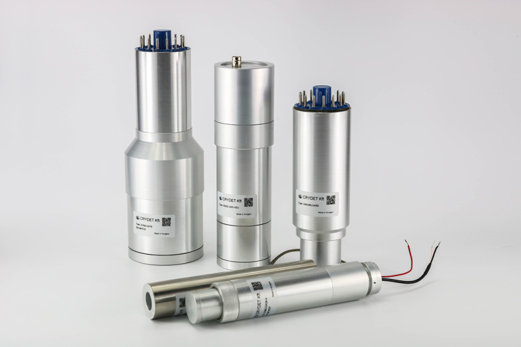
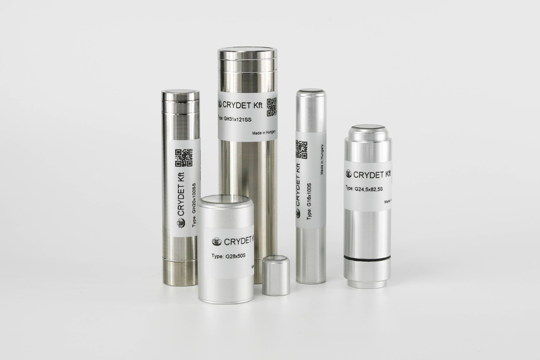
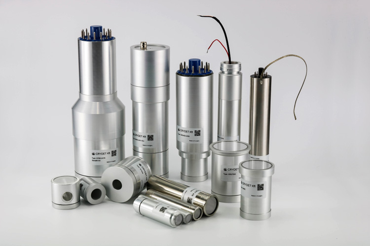
- Radiation measurement sensors coupled to SiPM (silicon based photoelectron multiplier)
- Scintillation detectors for differential dose rate measurement and accurate detection:
- 2 pc 2″ NaI(Tl) crystals with a measuring range from background radiation to ~ 1 mSv/h
- 1 pc 1″ NaI(Tl) crystal with a measuring range from background radiation to ~ 4 mSv/h
- 1 pc 5 x 5 x 5 mm YSO (yttrium oxiorthosilicate) detector with a measurement range >500 µSv/h
- Plastic detectors with counters, capable of detecting distant and/or low radiation levels due to their high volume (12 liters in total)
- Camera capable of taking a photograph for environmental identification between flight altitude and vibrations
- Altimeter, waterproof, laser based
- Positioning device, GNSS – Global Navigational Satellite System
- Inertial measurement unit
- On-board computer and storage unit, temperature, shock and vibration resistant
- On-board antennas
- Environmental sensors
- On-board radio unit
- Container battery and power supply
- IT system that ensures:
- Real-time collection of environmental data (humidity, pressure and temperature)
- Control of the storage temperature according to the ambient temperature
- Collection of position and flight status data
- Collection and transmission of image data every second
- Simultaneous real-time processing of spectral data from multiple sensors: collection, compression, integration of analysis algorithms, addition of additional information, energy calculation, energy correction, background radiation correction, spectral assembly, detector on/off switch according to activity levels, correction of calibration differences, adaptive channel number determination, fusion of environmental parameters and radiation data, real-time data stream assembly.
- Radio output management
- Storage (on memory card) and export of reconnaissance data, images of flights, in a format that can be interpreted by other programs
The ground unit
Processes, displays, and stores measurement data from the on-board computer, provides radio communication, manages the power supply, connects the antenna to the airborne unit and provides the user interface. It consists of:
- Tracking antenna system
- Measuring trolley (with laptop, monitor)
- Data analysis and display software